
The Ground
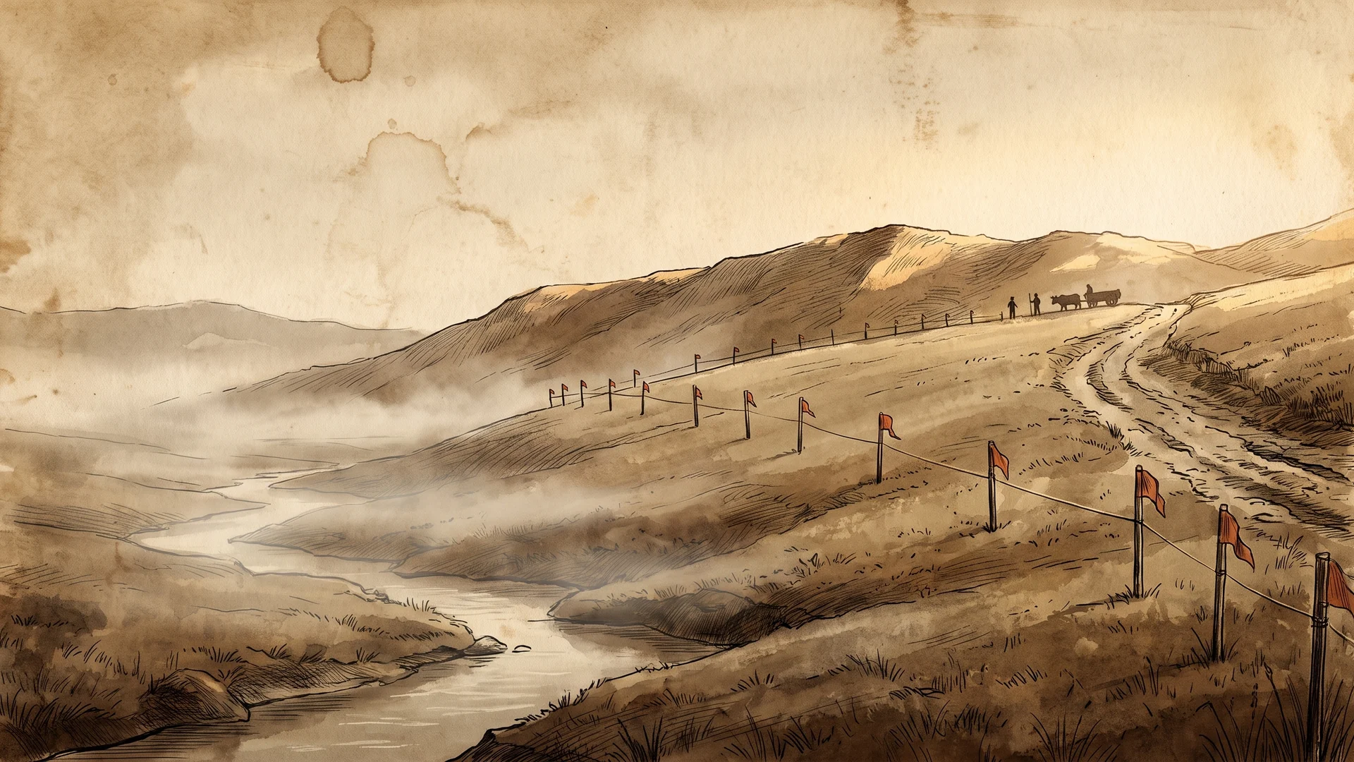
Land is the slowest medium I work in and the most honest. Every other territory on this map is a metaphor. This one has soil, water, a road that was here before me, and opinions about where you sleep.
THREE WAYPOINTS BELOWDesigning where lives will happen.
I research, model and develop small acreage. Market analysis across whole regions, parcel scouting, and terrain studies in three dimensions of how a piece of ground wants to be lived on. Where the light lands in February. Where the water goes when it is in a hurry. Where the gathering circle belongs, which is almost never where the driveway wants to be. It is experience design at geological tempo, and the ground gives you feedback the way nothing else does: slowly, physically, and without any interest in your feelings.
Sonder Hollow.
A land venture in progress. Multi-state market analysis narrowed down to ground actually worth walking, then terrain modeling detailed enough that you can stand on a property before it exists and find out you were wrong about the view. The long game is land that hosts the other territories: a place where the Table, the Fire and the School share an address, and where you arrive as a guest and leave having been somewhere. It is the slowest thing I have ever built and the one I am most certain about.
Terrain is the through-line.
The same instruments that read a stuck team read a stubborn hillside. Find the flows that already exist. Name the constraints out loud and early, including the expensive ones. Design with them rather than against them, because the hill was here first and so was the resentment. If you hold land, or you are trying to, and you want eyes that see both the parcel and the people it is eventually for, this is the territory to write to. Bring the survey if you have one. Bring the walk if you do not.
Walk a parcel with me
Scouting, analysis, terrain study, or the whole slow arc from map to broken ground. Tell me about the land, real or still imagined, and what you want to be true there in ten years.
Write about your ground